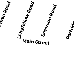
36 -02-03 WHITMAN RD
Owner Information
QUAN, ROBERT A.
36 WHITMAN RD.- UNIT 2-3
WALTHAM, MA 02453-6918


Property Details
36 -02-03 WHITMAN RD is classified as a Residential Condominium (Condo-grdn).
The primary structure on this property was built in 1982. There are 726ft2 of built area within this property. There is 726ft2 of residential/living space within this property. This property is listed as having 4 rooms.
36 -02-03 WHITMAN RD is valued at $343,500. The land is valued at $0 and the structures are valued at $343,500.
The most recent deed for 36 -02-03 WHITMAN RD is recorded at the local registrar in Book 121, Page 11. 36 -02-03 WHITMAN RD was last sold on Friday, May 25, 2012 for $203,000.
Assessment data from fiscal year 2022.
Flood Data
According to the FEMA National Flood Hazard Layer, this property does not appear to be in a flood zone. It may also be in an area not yet reviewed. Nonetheless, confirm this information prior to taking any action.
To view the flood hazards around this property, create a FEMA "Firmette" Map of the area around 36 -02-03 WHITMAN RD.
Broadband Internet Providers
| Provider | Type | Bandwidth (mbps) | |
|---|---|---|---|
| Verizon New England Inc. | DSL | 7 | 0 |
| HughesNet | Satellite | 25 | 3 |
| Comcast | Cable | 1000 | 35 |
| VSAT Systems, LLC. | Satellite | 2 | 1 |
| GCI Communication Corp. | Satellite | 0 | 0 |
| Viasat Inc | Satellite | 100 | 3 |
| Verizon New England Inc. | Fiber | 940 | 880 |
| RCN | Cable | 1000 | 20 |
| RCN | Cable | 500 | 20 |
Broadband service provider data from December 2020.
Adjacent Properties
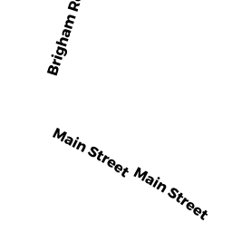
- 39 MAIN ST
Eating and Drinking Establishments - restaurants, diners, fast food establishments, bars, nightclubs owned by WJBC REALTY LLC. - 39 BEF MAIN ST
Parking Lots - a commercial open parking lot for motor vehicles owned by 39 MAIN LLC (50%); - 21 MAIN ST
Small Retail and Services stores (under 10,000 sq. ft.) owned by WJBC REALTY LLC. - 5 MAIN ST
Developable Residential Land owned by WATERTOWN SAVINGS BANK - 1 MAIN ST
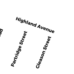
Bank Buildings owned by WATERTOWN SAVINGS BANK - 51 STONE RD
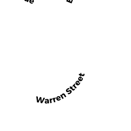
Single Family Residential owned by BRYANT, PATRICIA & THOMAS - 55 WARREN ST
Single Family Residential owned by ZAMMUTO, RAYMOND A. & - 52 STONE RD
Single Family Residential owned by MARTIN & EVELYN GALAMB NOM. - 48 WHITMAN RD
Single Family Residential owned by CIAMPI, GUIDO